Building Soil Health and Biodiversity Through Research

Caney Fork Farms is an organic diversified vegetable, chestnut, and livestock operation using regenerative farming practices to build soil carbon levels and ecological biodiversity. Historically owned and operated by the family of former Vice President Al Gore, the farm became Caney Fork Farms in 2015.

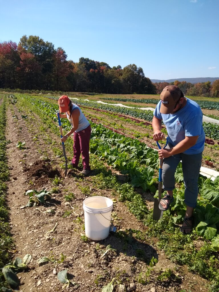
“There was a pretty intensive planning operation,” says Zach Wolf, Farm Manager at Caney Fork. Since officially becoming Caney Fork Farms, they have developed market gardens, field crop systems, high tunnels, and a sizable livestock operation to raise grass fed beef, pasture-raised pork, and entirely grass fed lamb.

In 2020, they obtained over 250 acres of conventionally farmed land and are slowly transitioning it to organic production. Now, managing almost 700 acres of land, 550 of which are certified organic, Caney Fork is building more integrated farming systems by producing their own hay forage, grain, and agroforestry crops in addition to managing their market garden and vegetable CSA.

For Caney Fork Farms, the reasons behind using organic, regenerative, and integrated farming practices is backed by science.

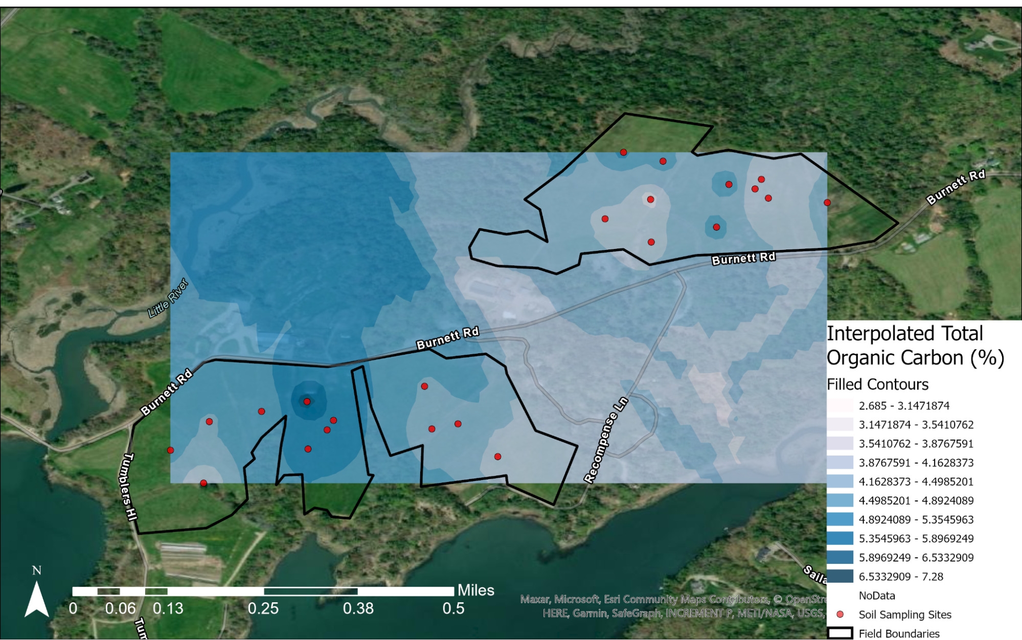
In 2019, they took a series of soil carbon samples of the main farm acreage to get a baseline of certain metrics, such as soil carbon levels. When Caney Fork obtained the over 250-acre plot, locally known as Lock Seven Farm, they took another series of carbon samples. Using that baseline data as a comparison, they can calculate changes in soil health metrics as they transition the newly acquired land to organic agricultural production.

As they transition the land, Caney Fork is seeing exponential increases in soil carbon levels compared to baseline measurements. Although farms usually see the most dramatic change in soil carbon within the first years of transitioning from conventional to organic farming practices, to see such growth is still gratifying.

“We’ve seen a 35% increase in soil carbon within the first 20 months of implementing regenerative practices,” says Shaylan Kolodney, Research Coordinator and Livestock Hand at Caney Fork Farms who was a part of the original team that collected baseline soil samples.

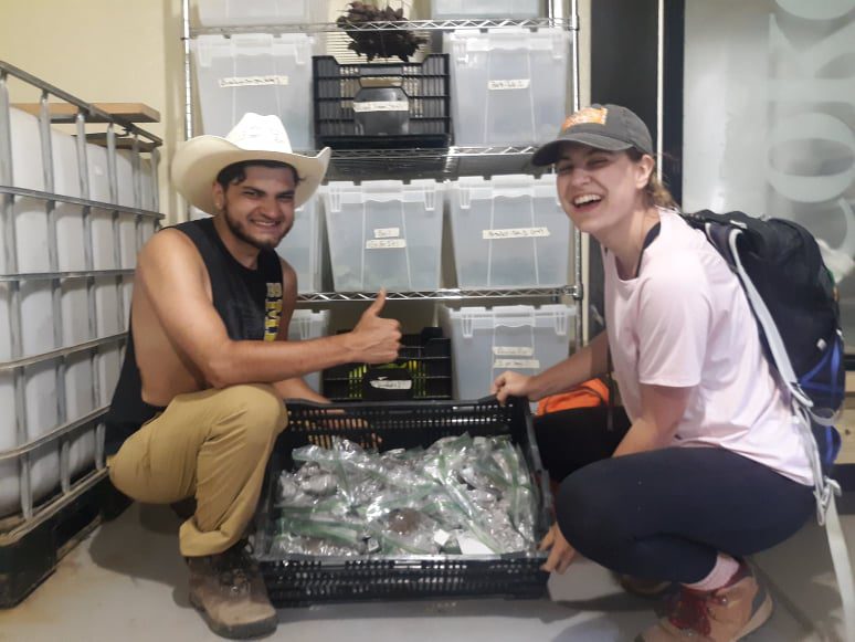
While research at the farm has primarily surrounded exploring soil carbon and general soil health, researchers have begun biological monitoring and collecting data on nutrient quality of crops.

“The biological monitoring piece is just starting to unfold,” says Kolodney. For Caney Fork Farms, biological monitoring involves assessing the biodiversity of the farm environment across plant and animal species. In combination with soil health, this data can paint a more comprehensive picture of how farm operations and the local environment interact with one another. With a heavy emphasis on bird monitoring, they have identified over 50 species on the farm since beginning biological monitoring in 2021.

Among other research initiatives they are implementing at the farm, they are collaborating with Walter Goldstein from the Mandaamin Institute in a corn trial to assess different corn varieties and their ability to both fix nitrogen and perform under their organic growing conditions while also participating in a mung bean trial with Matt Blair from Tennessee State University to determine the suitability of the legume in southeastern organic growing conditions.

While Caney Fork Farms works with its own network of researchers and soil scientists, that network has grown much larger since joining OpenTEAM in 2019.

“The biggest benefit that we’ve had with OpenTEAM is the community aspect of it and learning from other Hubs in terms of how they’re doing things when it comes to research,” says Kolodney, “One of our goals at Caney Fork is to tell that story of conventional management transitioning into organic and, with the support of OpenTEAM and our Research Board, telling that story to the scientific community.”

Research remains a central part of the work that Caney Fork is doing to ensure their practices are yielding positive impacts on the environment and their food production.

Pasa Leads Community Science Research Initiative Through Soil Health Benchmarking Study

Pasa, a Pennsylvania-based sustainable agriculture association, started out as a small group of Pennsylvania farmers interested in collecting and sharing their own resources and experiences around sustainable farming in the early 1990s. Since then, Pasa has invested in farm-based research, farmer training, and events and conferences about sustainable agricultural practices to support farmers and ranchers in bettering their communities and the environment.

While developing their research initiatives in recent years, Pasa found that many farmers had questions about their soil health and how it compared to other farms. In 2016, they launched a trial soil health benchmarking study, the first of its kind in the United States. Through this study, Pasa created an avenue for Pennsylvania farmers to collect, assess, and learn from soil health data that can assist them in their own management decisions.

After one year, the trial became an official research initiative of Pasa called the Soil Health Benchmarking Study. Since then, the study has grown to include several other partners representing hundreds of farmers and ranchers, including members of OpenTEAM such as Million Acre Challenge. Each year, farmers’ soils are tested and analyzed using the Cornell Soil Health Test, which provides insight beyond what most average soil health tests can give. Then, Pasa aggregates this data and provides farmers with individualized reports that give them a breakdown of their results and benchmarks them against their peers.

“It’s not enough to get the soil test results though,” says Sarah Bay Nawa, Research Coordinator for Pasa, “We want to figure out how farming practices and soil health outcomes correlate. We need management records that include equipment activity, planting, harvest dates, grazing, etc…” To truly understand soil health, one has to understand how the land is being used.

By collecting additional management records, Pasa is making headway on insights into the connections between farming practices and soil health outcomes. Farmers choose to share their management records with different tools. Some are using SurveyStack from Our Sci and farmOS, two tools from the OpenTEAM ecosystem, to share their data directly with researchers. For example, SurveyStack provides farmers with an online survey with pre-populated answers, making it easier to collect, store and compare data from farms across the network. These responses can then be fed into farmOS automatically, allowings farmers to track their farm management, planning, and record keeping digitally. When farmers use tools such as these, researchers can ensure that all data is entered in the same format for easier sharing and analysis. 

As the study continues to grow, more and more farmers across the Eastern United States are actively participating by sampling their soils and sharing farm management records to learn how they can improve upon their own operations to build better soil health. The Maine Soil Health Network, led by Wolfe’s Neck Center for Agriculture & the Environment and Maine Farmland Trust, recently joined the study with their own regional cohorts. Now, more than 100 farms in Pennsylvania, Maryland and Maine are contributing soil health and management data to the study.

This year marks the sixth year of the study. As changes in soil health are slow, Pasa hopes to continue the study for at least ten years. Bay Nawa is excited about the future of the study, “Through this, we hope that farmers are able to make really strategic decisions about how they manage their farm to improve soil health. And, maybe see the beginning signs of that change soon.”

Wolfe’s Neck Center Research Intern Shares SOC Maps for Wolfe’s Neck and State of Maine

The measurement of soil organic carbon (SOC) is a complex and contested process that essentially boils down to two measurements: total carbon and bulk density. Total carbon is usually measured in a laboratory using the dry combustion method, whereby a soil sample is heated and all carbon compounds are decomposed and converted into measurable carbon oxides. To estimate the SOC in an area of land, bulk density measurements can be used to adjust total carbon levels for varying soil densities / concentrations across the soils. Both of these processes are time- and labor-consuming, which makes measuring carbon on the farm a challenging process. 

Because the measurement of SOC stores is such an intense process, people have begun to look to environmental indicators of SOC sequestration capacity. Soil type is a leading determinant, as more clay-heavy soils are able to sequester more carbon. Similarly, land cover can determine potential. For example, large trees pull more carbon out of the atmosphere, while barren land does not pull much at all. Other factors like land gradient, temperature, and precipitation also affect plant establishment and growth, and therefore contribute to sequestration rates. Spatial analysis helps us understand where sequestration is most feasible, and perhaps where carbon removal practices and management strategies should be implemented. 

Wolfe’s Neck Center has been conducting research into soil organic carbon for several years. This year, we have collected upwards of 100 soil samples for various purposes. Due to the complex nature of SOC measurement, there are many tools in development designed to reduce the burden of measurement. Some creators have been working with OpenTEAM and Wolfe’s Neck Center to calibrate and/or pilot their devices. Generally, we have worked with creators of in-field spectrometers, which attempt to take a soil sample, save the location, and record the SOC content of the sample in the field. In order to calibrate these devices, we have also sent samples to laboratories to receive routine soil analyses in addition to official SOC measurements. 

Informed by this data collection process, research intern Charlotte Mondale sought to create a map to predict zones in Maine that are expected to have a higher soil organic carbon (SOC) sequestration rate than others. Environmental factors were considered in order of their influence on sequestration potential: soil type (weight of 40%), land cover (30%), slope aspect (12%), slope gradient (8%), mean annual precipitation (5%), and mean annual temperature (5%). A weighted suitability analysis, conducted with a raster calculator, determined the zones in Maine that are expected to have the highest SOC sequestration potential.

The final suitability analysis indicates areas in Maine that would be expected to have high SOC sequestration potential, indicated by the color brown. Generally speaking, these areas are concentrated in the south, with some dark green (high potential) zones scattered throughout the north as well. This more or less aligns with the distribution of Maine agricultural land, which is concentrated in the relatively more developed coastal and southern regions. These results indicate where a local or county-wide sequestration activity would be best suited in order to yield maximum removal of carbon from the atmosphere.

This map of Wolfe’s Neck shows the interpolated soil organic carbon levels for the Brocklebank and Bay fields. Interpolation refers to the mathematical process of inferring values based on inputted data. In other words, the red points indicate points where we took soil samples and had them lab tested for actual SOC levels. The shades of blue around the points illustrated expected carbon stores for the surroundings. This map indicates that there is more SOC concentrated around Middle Bay. This makes some sense, because this is our primary grazing pasture; the land is particularly rich thanks to cow manure. This area also has relatively good drainage, allowing for water to percolate through the soil as well as run off when there is an excess.